
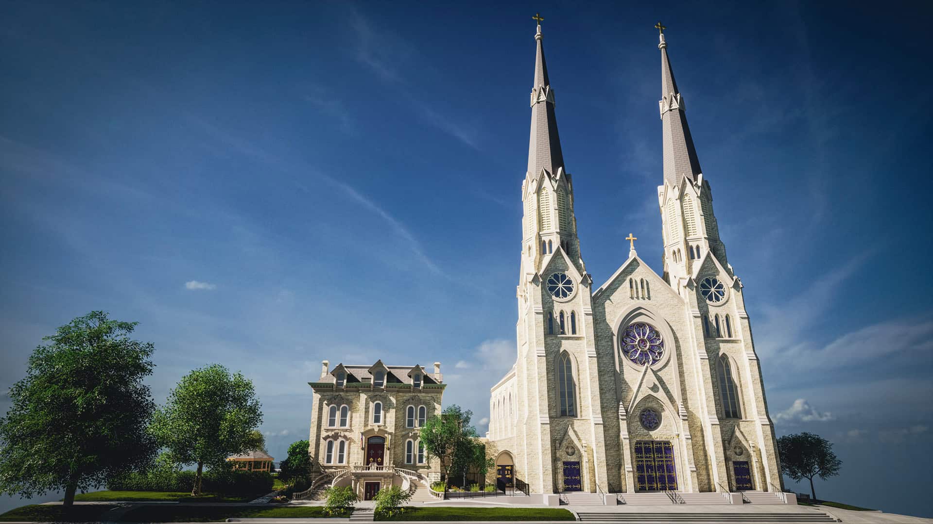
A photograph of a historic building tells you what it looks like. A laser scan tells you something more useful — exactly where every structural member sits in three-dimensional space, what its precise dimensions are, and how it relates to every other element around it. For preservation architects and restoration teams, that distinction matters enormously. Moreover, it matters not just for the current project — but for the entire future life of the structure.
TWG provides professional historic preservation laser scanning throughout Illinois. Our work creates permanent, accurate records of historic structures. In addition, those records go far beyond what photography or traditional field measurement can deliver. This post explains why that distinction matters — and what it means for the buildings TWG has documented throughout Central Illinois.
The Limitation of Photographs as Documentation
Photography has been the default documentation tool for historic structures for generations. It’s fast and accessible. Furthermore, it produces visually compelling records that capture architectural character and decorative details in a way that’s immediately understandable.
That said, photographs carry real limitations for preservation and restoration work. They capture appearance from a fixed point of view. They tell you what something looks like — not where it is or how it relates spatially to everything around it. In addition, photographs flatten three-dimensional reality into two-dimensional images. That flattening means the spatial relationships that define a building’s structure simply don’t translate.
For a preservation architect, appearance alone isn’t enough. Dimensional accuracy drives real design decisions. Verified spatial relationships prevent costly surprises during renovation. A photograph can’t provide either. A laser scan can.
What Laser Scanning Captures That Photography Cannot
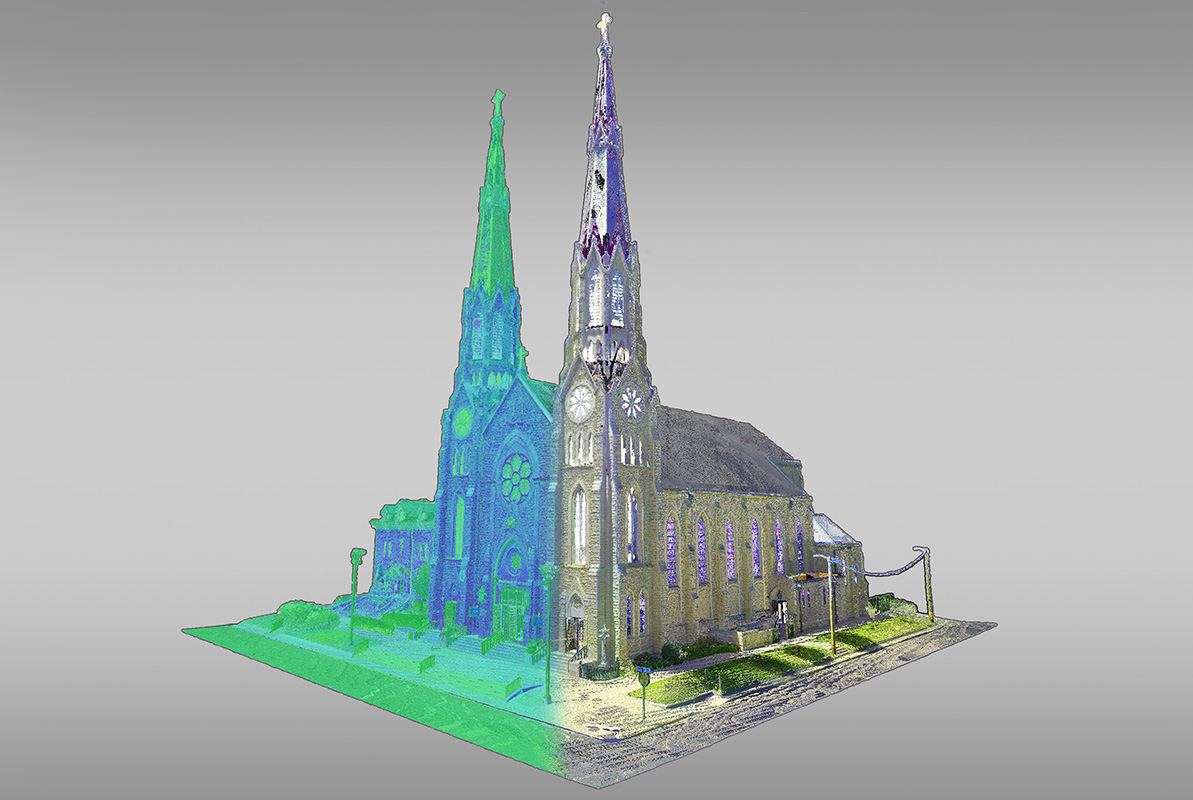
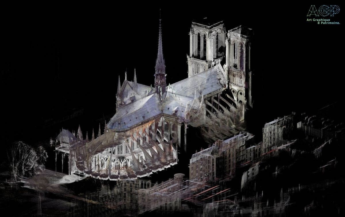
TWG uses the Leica RTC360 to capture millions of precise measurements across a historic structure. The result is a dense point cloud. That point cloud is a three-dimensional record of the building — capturing every surface, every structural element, and every spatial relationship with dimensional accuracy.
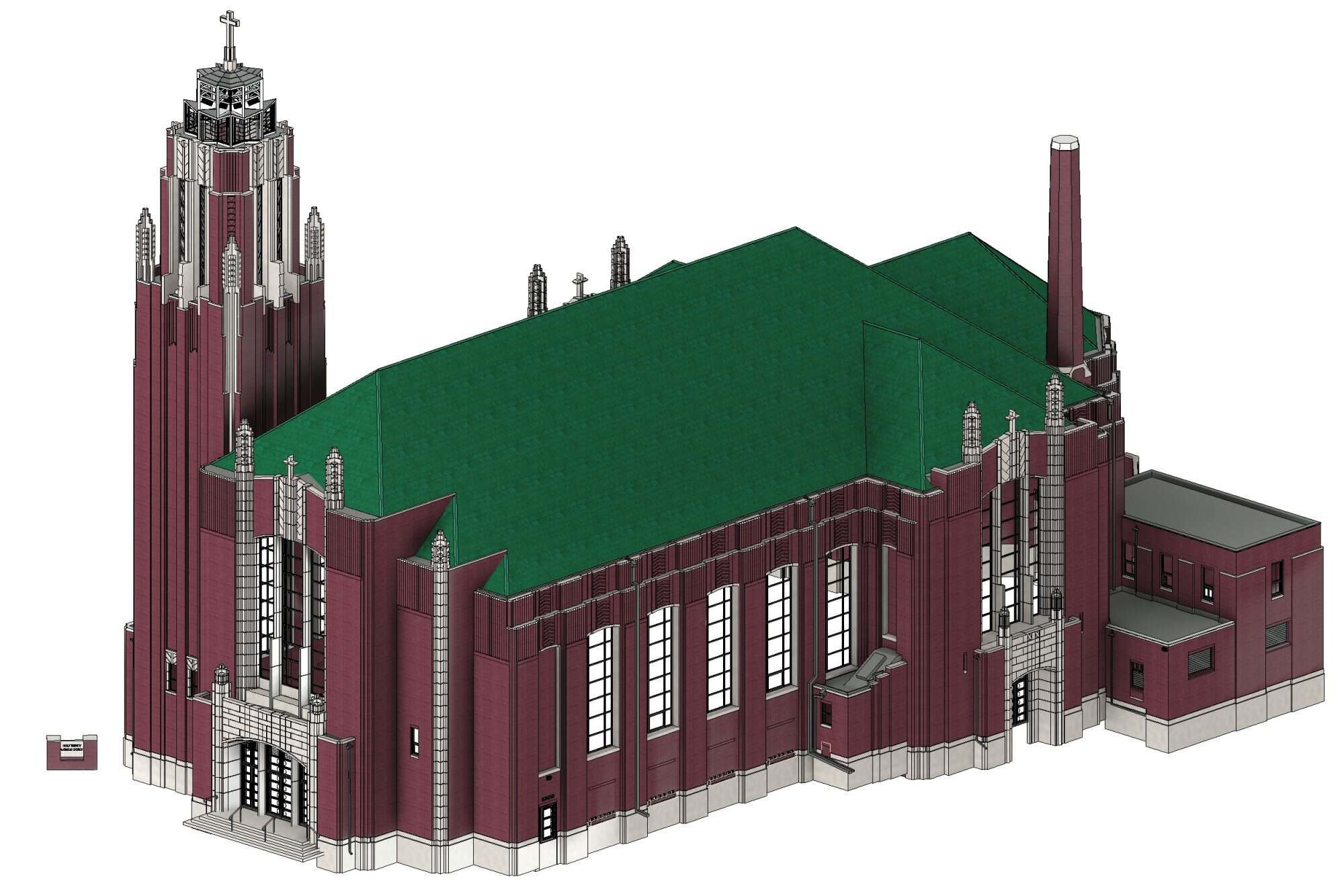
From that data, TWG builds a coordinated Revit model. The model reflects the building exactly as it exists today. It doesn’t rely on original design drawings, photographic references, or field approximations. Every dimension is verified. Every structural element is recorded in its actual position in three-dimensional space.
For a preservation architect, that means designing from verified existing conditions rather than visual estimates. In terms of a restoration team, it means working from an accurate record of what existed. For an institutional owner, it means having a permanent digital record that serves every future project throughout the building’s life. In short, laser scanning turns a snapshot into a working document.
Not sure what point cloud data looks like or how it becomes a usable Revit model? Read our guide on what a point cloud is and how it works.
Documentation as Legacy — The Notre Dame Lesson
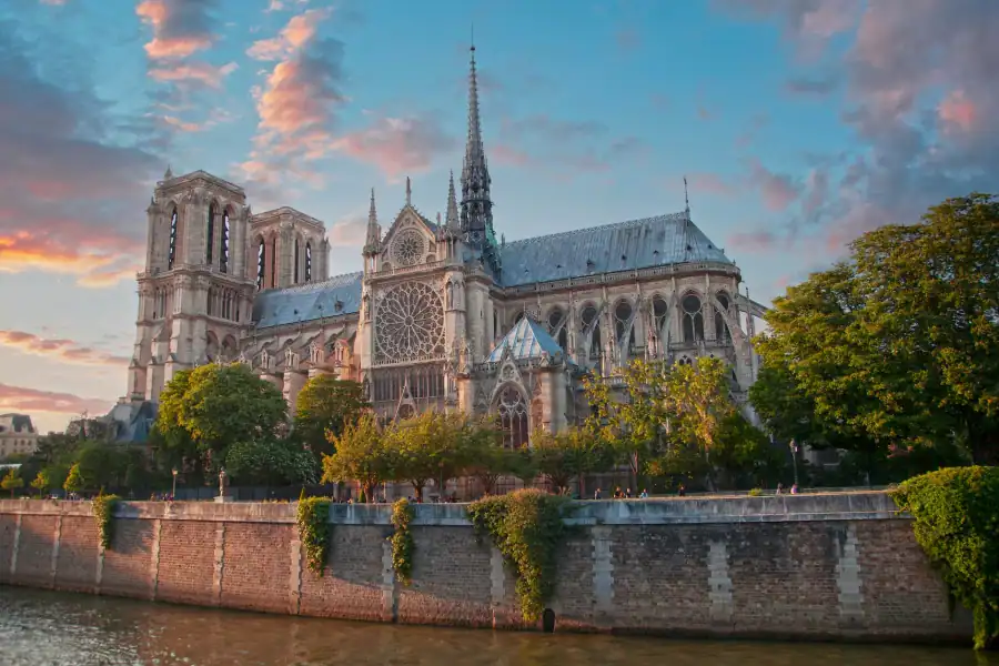
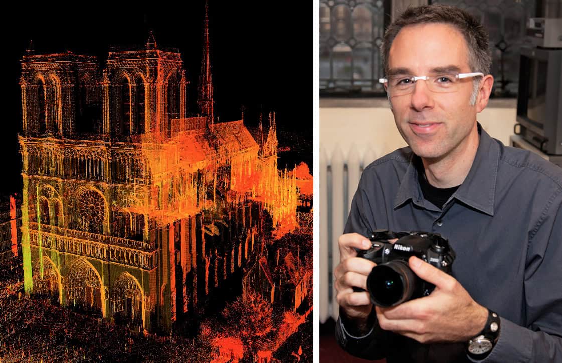
In April 2019, Notre Dame Cathedral in Paris caught fire. The blaze destroyed the spire and caused catastrophic damage to the roof and upper structure. The loss was devastating. Restoration efforts, however, benefited significantly from a remarkable piece of prior documentation.
Years before the fire, art history professor Andrew Tallon had laser scanned Notre Dame Cathedral. He captured a precise three-dimensional record of the structure in extraordinary detail. When restoration teams began planning the rebuild, that scan data served as a critical reference point. It documented structural relationships, dimensional accuracy, and architectural details. Moreover, it did so in a way that no collection of photographs could have fully replicated.
The Notre Dame fire is an extreme example. Most historic buildings in Illinois will never face that kind of catastrophic event. The lesson, however, applies at every scale. Fire, flood, and structural deterioration all change historic buildings in ways that can’t always be anticipated. In addition, the simple passage of time takes its toll. A laser scan creates a permanent record that remains accurate and useful regardless of what happens to the physical structure afterward. That record has value not just for today’s project — but for every project that follows.
What TWG’s Historic Preservation Laser Scanning Delivers
TWG’s historic preservation laser scanning services produce deliverables that serve both immediate project needs and long-term documentation goals:
- High-density point cloud data — a complete three-dimensional, highly accurate, record of the structure captured with the Leica RTC360
- Coordinated Revit models — detailed 3D models of existing structural elements, architectural features, and spatial relationships built directly from scan data
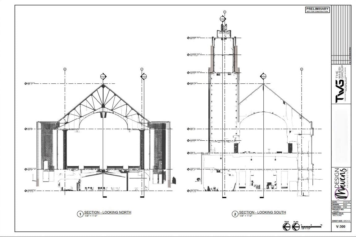
- Existing conditions documentation — precise floor plans, elevations, sections, and structural documentation derived from verified scan data
- Structural assessment from scan data — assessing the condition of structural elements in difficult-to-access areas like attic spaces directly from point cloud data, without invasive physical investigation
- Permanent digital record — a verified three-dimensional archive of the structure as it exists today, available for every future project and restoration need
Why Non-Invasive Documentation Matters for Historic Structures
Traditional documentation methods require physical contact with or close proximity to historic surfaces. Tape measures, manual field notes, and even some forms of photogrammetry all carry that requirement. In a historic structure, physical contact carries real risk. Fragile plasterwork, original timber, and irreplaceable decorative elements can all sustain damage from tools or sustained physical interaction.
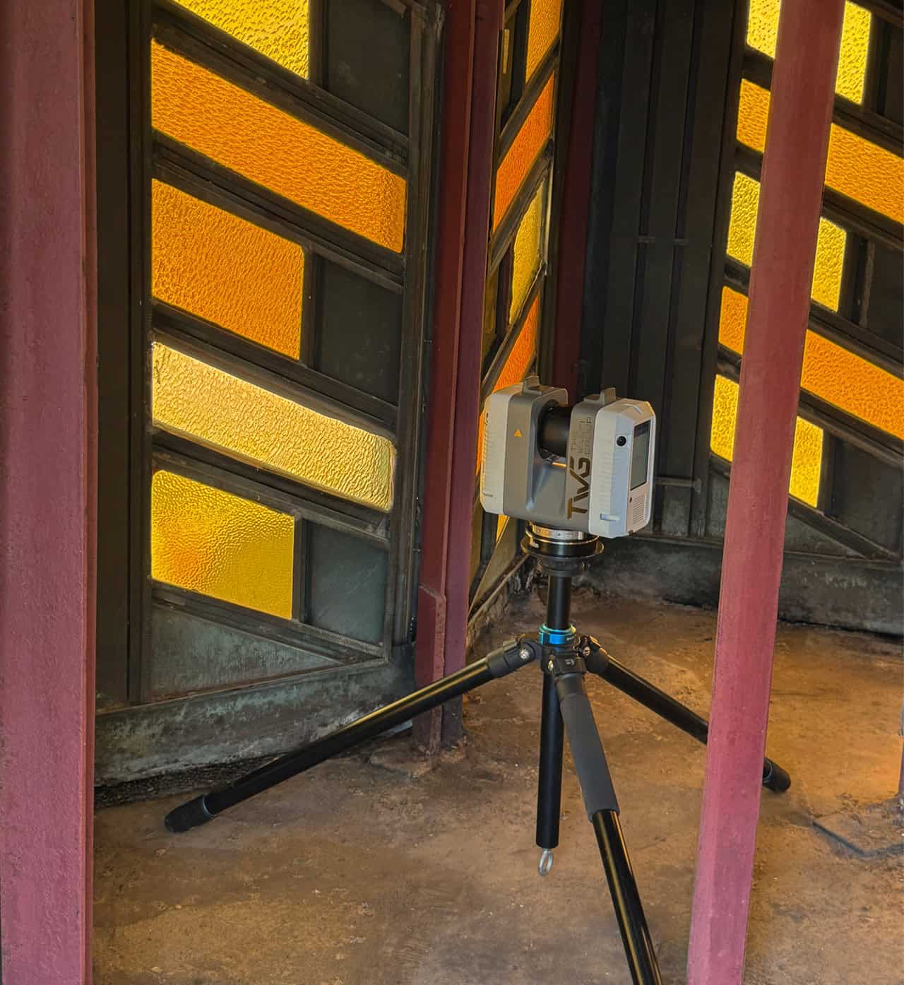
Laser scanning is fundamentally non-invasive. It requires minimal crew presence. The Leica RTC360 captures data using laser pulses — no physical contact, no prolonged occupancy of sensitive spaces. Because the scanner operates from a portable tripod, our small team documents structural members in tight attics, ornate ceiling geometry, and exterior building envelopes without touching historic masonry or decorative surfaces.
Where elevated access is needed, laser scanning still reduces the time spent in sensitive areas significantly. It captures complete, accurate data in a fraction of the time manual measurement requires. In addition, multiple scan positions from ground or accessible levels create comprehensive coverage efficiently. As a result, disruption to the structure and its occupants stays minimal throughout the process.
Notable Historic Preservation Projects in Illinois
TWG has worked with preservation architects and project teams on historic building documentation throughout Illinois. Notable projects include:
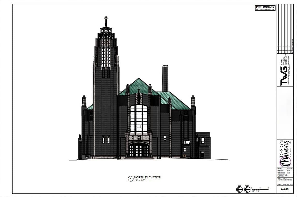
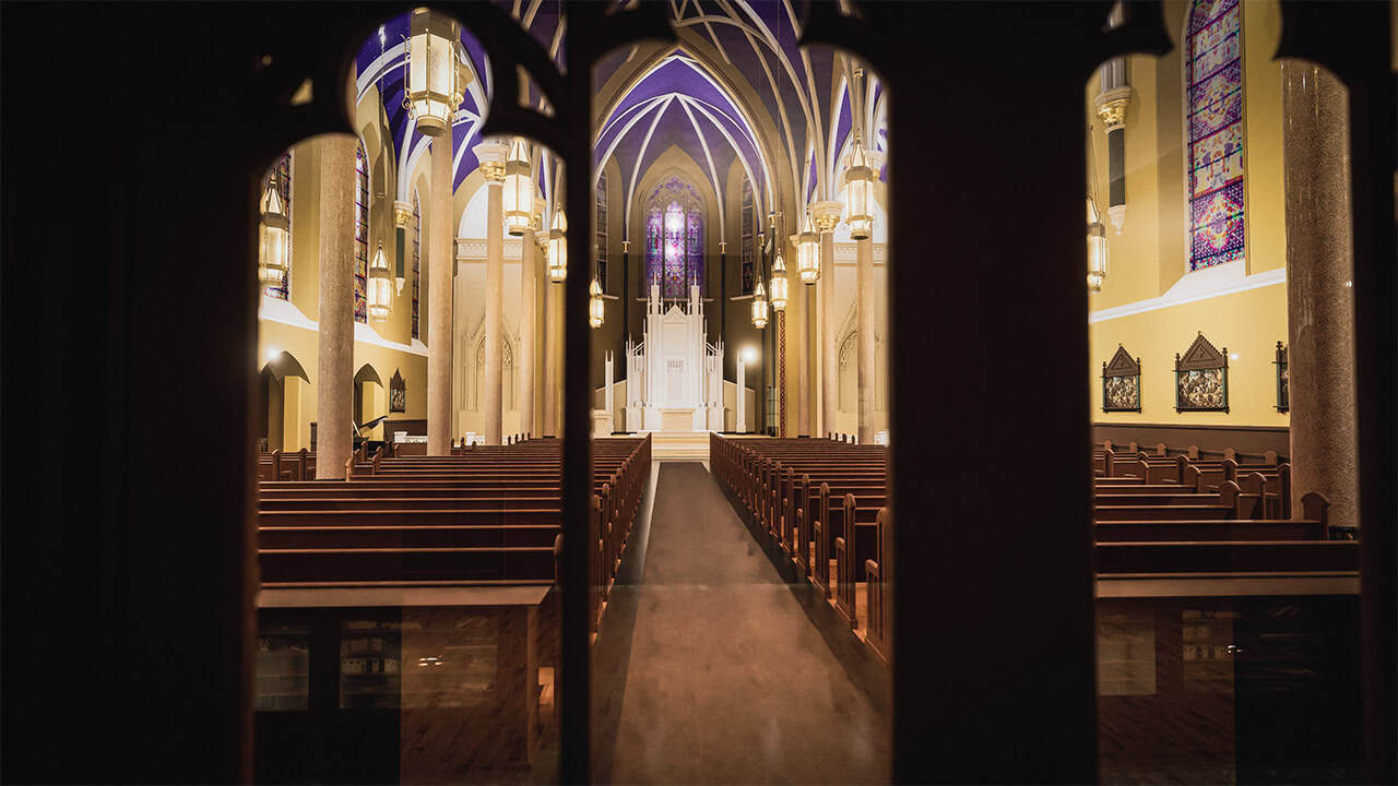
Holy Trinity Catholic Church — Bloomington, IL — TWG laser scanned the full interior and exterior of Holy Trinity Catholic Church for Design Mavens. Using the scan data, our team assessed the condition of structural members in the attic without invasive physical investigation. The project delivered a coordinated Revit model of the building shell to support renovation planning.
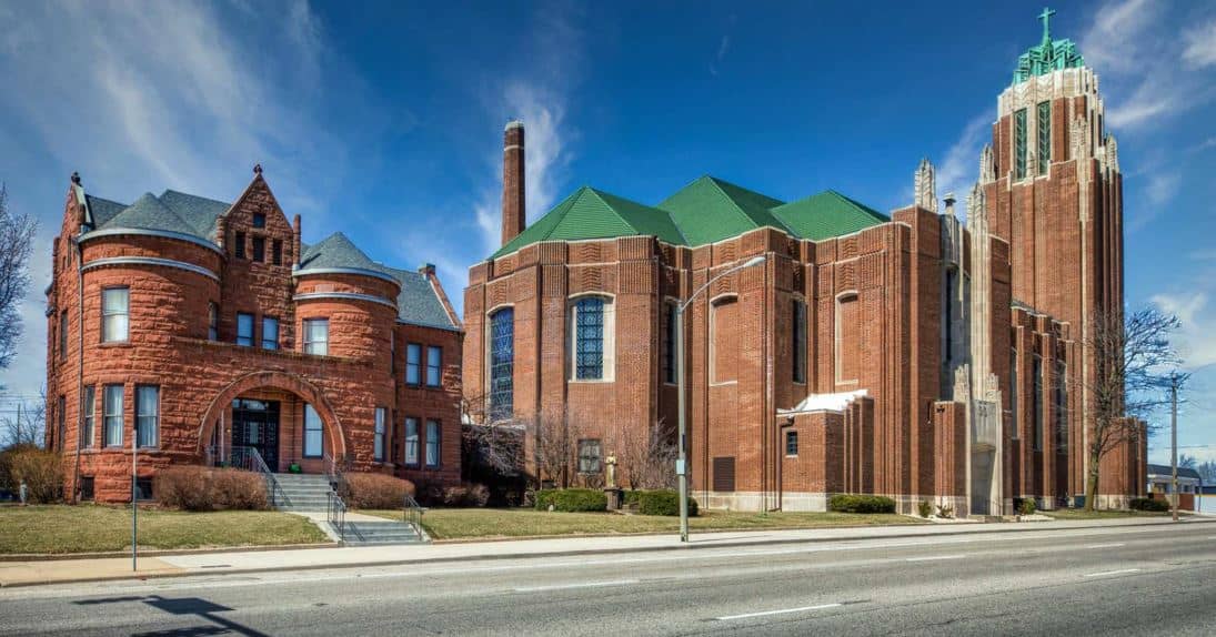
The Cathedral of St. Mary — Peoria, IL — TWG laser scanned one of Peoria’s most recognized historic landmarks for the Catholic Diocese of Peoria. From that data, our team delivered a coordinated Revit model and complete set of architectural drawings. These support future renovation planning including a planned HVAC overhaul.
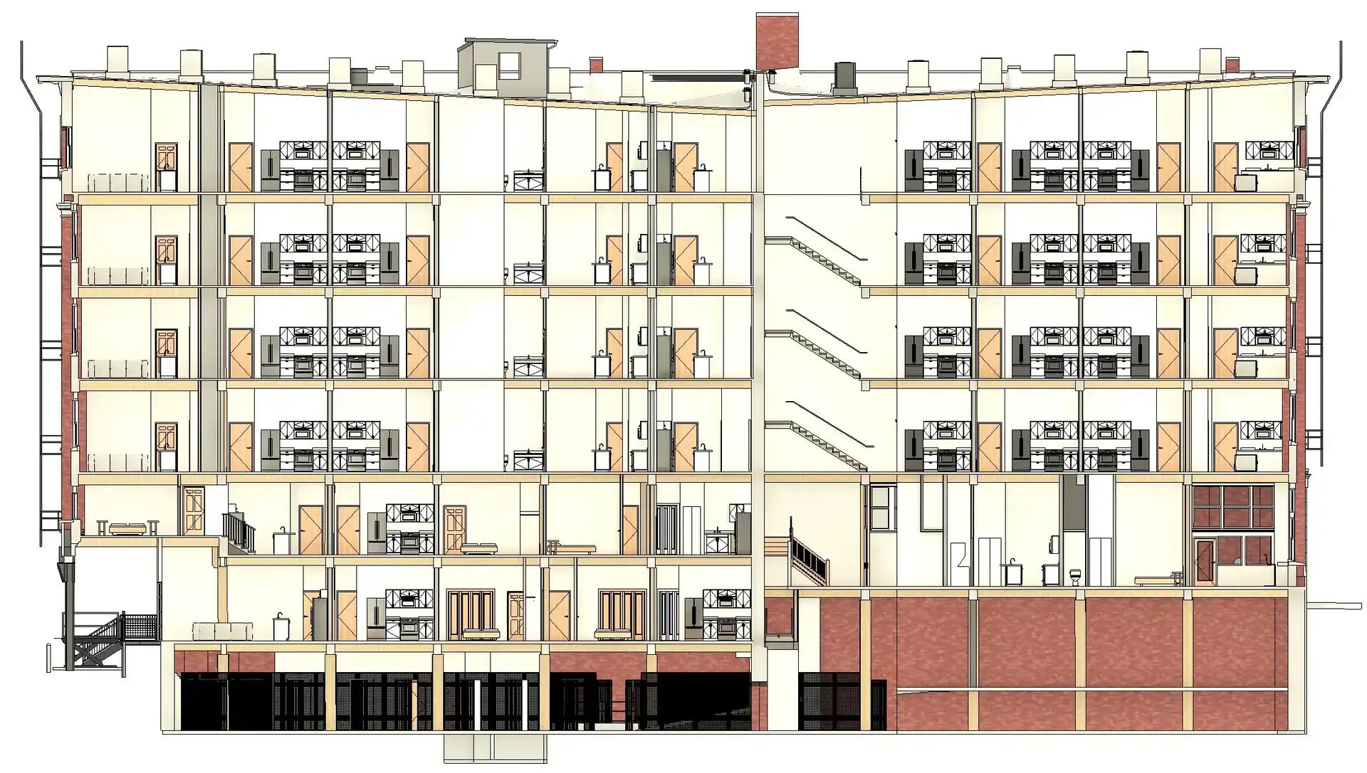
Oculus Development — Historic Warehouse Adaptive Reuse, Peoria — TWG laser scanned a historic downtown Peoria warehouse for Oculus Development. From those results, our team delivered a coordinated Revit model to support adaptive reuse planning and ADA compliance documentation for a historic commercial building conversion.
Historic Preservation Laser Scanning Throughout Illinois
TWG regularly works with preservation architects, institutional owners, and project teams on historic building documentation throughout Illinois and beyond. Based in Morton, IL, our team brings nearly 30 years of experience documenting complex existing conditions. In addition, we bring genuine familiarity with some of Central Illinois’s most significant historic structures.
If your project involves a historic building that deserves accurate, permanent documentation, TWG is ready to help. Visit our dedicated page for 3D laser scanning in Central Illinois to learn more about how TWG supports local preservation and renovation teams.
Ready to Document Your Historic Structure?
TWG works with preservation architects, institutional owners, and project teams throughout Illinois and beyond. Whether your project calls for 3D laser scanning, CAD drafting and Revit modeling, or construction printing, our goal is always the same — give your team accurate, reliable documentation you can build from.