
Tag: point cloud
-

Historic Preservation Laser Scanning in Illinois — Why Accurate Documentation Is More Than a Deliverable
A photograph of a historic building tells you what it looks like. A laser scan tells you something more useful — exactly where every structural member sits in three-dimensional space, what its precise dimensions are, and how it relates to every other element around it. For preservation architects and restoration teams, that distinction matters enormously.…
-
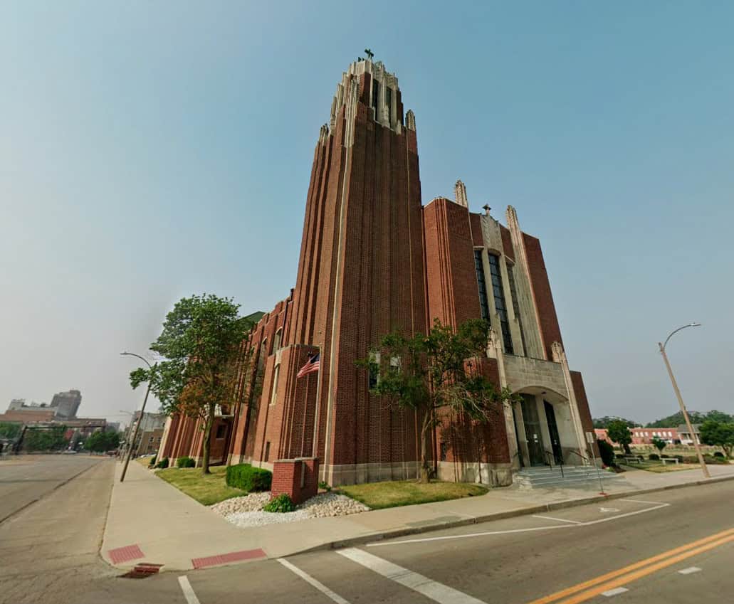
Historic Church Laser Scanning — Holy Trinity Catholic Church, Bloomington, IL
Project Overview Design Mavens engaged The Wassi Group to provide historic church laser scanning services for Holy Trinity Catholic Church in Bloomington, IL — a historic structure requiring precise existing conditions documentation for renovation planning. TWG deployed the Leica RTC360 to capture comprehensive scan data of both the interior and exterior of the building. From…
-
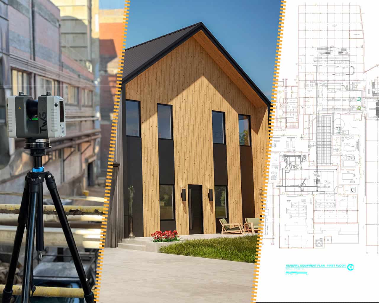
From Laser Scan to Finished Drawing — How TWG’s Process Works Start to Finish
If you’ve received a proposal that includes 3D laser scanning, you may have wondered what actually happens between the scanner arriving on site and your team opening a finished Revit model or CAD drawing set. The process involves more steps than most clients expect. Moreover, it requires more careful judgment than the technology alone suggests.…
-
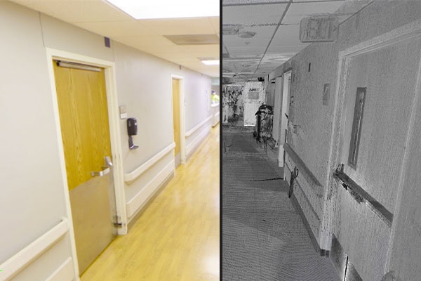
Healthcare Facility Laser Scanning in Illinois — Accurate Documentation for Occupied Healthcare Environments
Renovating an active hospital is unlike any other construction project. Clinical spaces can’t go offline without careful coordination. Infection control requirements dictate how and when work happens. Active construction zones sit directly adjacent to patient care areas. Every design decision carries consequences that extend beyond schedule and budget — into the quality and continuity of…
-
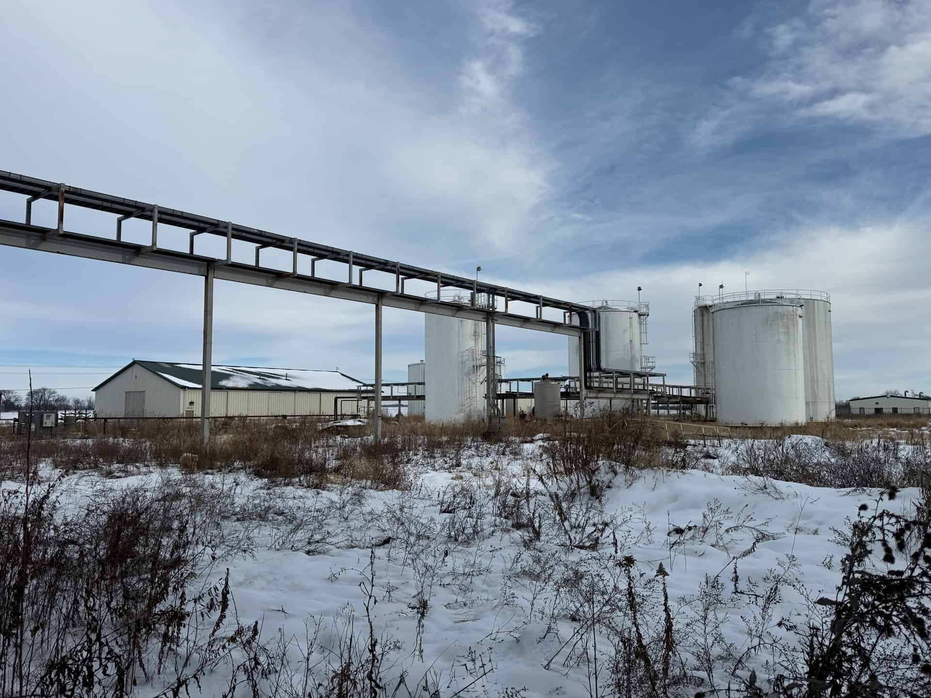
Industrial Facility Laser Scanning in Illinois — Accurate Documentation for Complex Environments
Industrial facilities present some of the most challenging existing conditions documentation in construction. Process equipment, structural steel, pipe routing, and mechanical systems all occupy the same space. Moreover, they interact in ways that tape measures and manual field notes simply cannot capture accurately. For plant managers, operations engineers, and facility teams throughout Illinois, TWG provides…
-
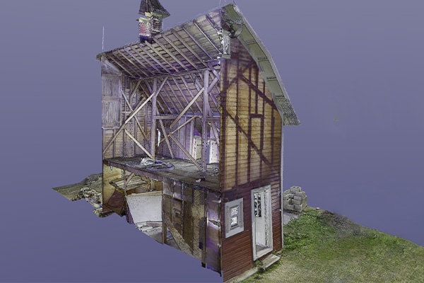
What Is a Point Cloud? What Project Teams Need to Know
Every construction and renovation project reaches a point where someone needs to work from a drawing. Whether that’s an architect detailing a renovation, a contractor coordinating trades, or a facility manager planning future work — the quality of that drawing determines how smoothly the project goes. If you’ve worked with a 3D laser scanning firm,…