
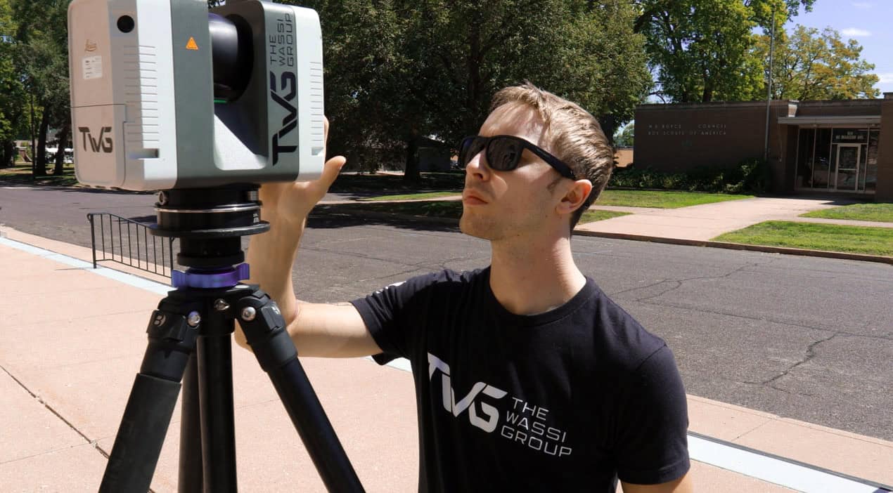
For architects, engineers, and contractors, accurate existing conditions documentation is the foundation every successful project builds from. When that foundation is missing or unreliable, design conflicts surface during construction. Coordination breaks down between trades. Moreover, project timelines absorb costs that could have been avoided entirely with better information at the start.
TWG uses the Leica RTC360 to provide professional 3D laser scanning services for AEC professionals throughout Illinois. Our team captures accurate existing conditions and delivers coordinated point cloud data, Revit models, and CAD drawings your team can work from with confidence. Below are the most common applications of 3D laser scanning for architects, engineers, and contractors — and what TWG delivers for each.
Building and Home Renovations
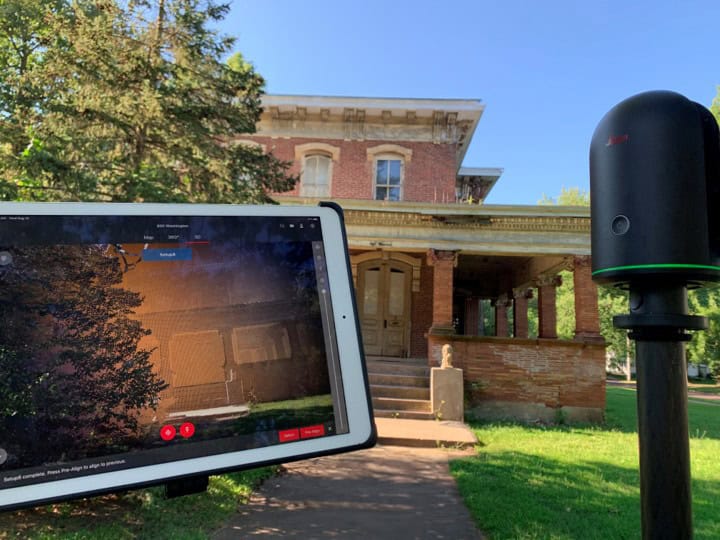
Renovation projects depend on accurate knowledge of what’s already there. Original drawings are often outdated, incomplete, or missing entirely. When design work starts from inaccurate existing conditions, clashes surface during construction rather than during design. That’s a far more expensive time to find them.
TWG captures the existing conditions of any building or structure using the Leica RTC360. The scanner documents walls, windows, doors, stairs, roofs, railings, columns, beams, equipment, piping, and more with precision. The resulting point cloud becomes the foundation for 2D CAD drawings and coordinated 3D Revit models. In addition, overlaying proposed renovations with verified scan data allows design teams to identify and resolve discrepancies early — before they become field problems.
Architectural Design
Architects working on existing buildings spend significant time gathering field measurements before design work can begin. Traditional field measurement is time-consuming. It’s also subject to human error and rarely captures the full complexity of an existing structure accurately.
TWG’s 3D laser scanning captures all existing structural elements efficiently and accurately. As a result, architects receive precise existing conditions data — delivered in the formats their workflows require — so they can focus on design rather than data collection. That efficiency streamlines the entire project workflow from the first design session through construction administration.
Industrial and Manufacturing Facility Documentation
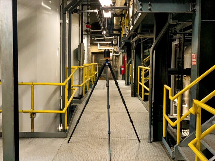
Industrial and manufacturing facilities present some of the most complex existing conditions documentation challenges in construction. Process equipment, structural steel, piping systems, and mechanical infrastructure all occupy the same space. Furthermore, they interact in ways that manual measurement simply can’t capture accurately.
TWG uses the Leica RTC360 to laser scan industrial environments. The scanner captures high-density point cloud data of complex spaces efficiently and completely. Structural elements, piping, boilers, turbines, pumps, condensers, and process equipment are all documented in three dimensions. As a result, engineers can plan maintenance, modifications, and expansions around the existing facility with confidence.
In addition, detailed existing conditions documentation allows stakeholders and facility managers to assess conditions remotely. This reduces safety risks and enables proactive maintenance planning without repeated physical access to operational areas.
Elevation and Flatness Maps
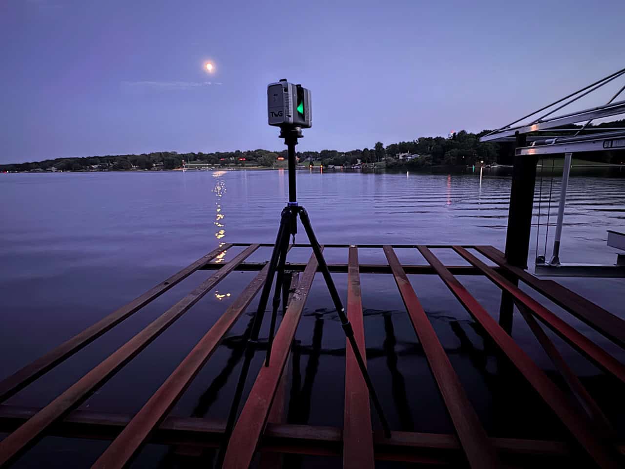
Floor flatness and levelness are critical for many construction and industrial applications. Slab corrections, flooring installations, equipment placement, and process line alignment all depend on accurate surface data. Traditional measurement methods are slow and produce limited data coverage across large floor areas.
TWG measures floor and land flatness quickly and precisely using 3D laser scanning. The resulting point cloud data produces color-coded elevation maps. These maps identify high and low points across the entire measured surface. Moreover, they enable accurate cut-and-fill calculations — giving contractors and engineers the data they need to make informed decisions before work begins.
Piping Documentation and Replacement Planning
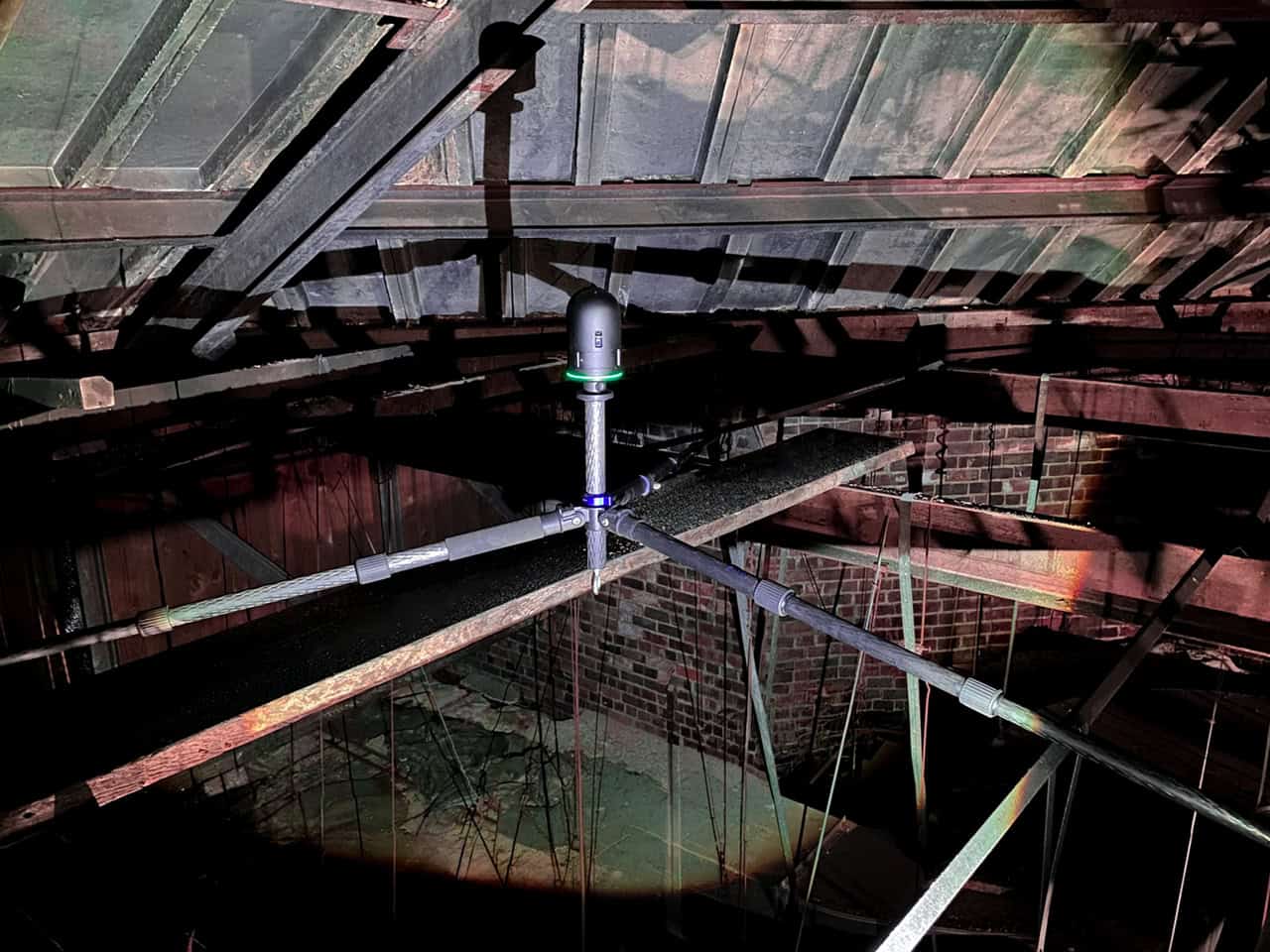
Piping systems in industrial facilities and process plants are complex, interconnected, and difficult to document accurately through traditional field measurement. Replacing or retrofitting pipe runs requires precise knowledge of existing layouts. That includes pipe routing, vessel locations, valve positions, and control device placement.
TWG’s laser scanning captures the complete layout of piping systems throughout a facility or plant. The resulting documentation supports future maintenance, replacement planning, and system modifications. Furthermore, using verified scan data for retrofitting projects ensures proper fitting. It also significantly reduces the risk of costly coordination conflicts during installation.
2D Drawings for Permit Applications
Permit applications require comprehensive construction documents. Accurate floor plans, site plans, elevations, and sections must meet local building department standards. Producing those documents from manual field measurements is time-intensive. It also introduces the possibility of dimensional errors that delay the permitting process.
TWG captures the layouts and dimensions required for permit documentation using the Leica RTC360. From that scan data, our CAD team produces accurate 2D drawings in the formats local building departments require. In addition, those drawings are built from verified existing conditions rather than approximated field measurements — giving project teams permit-ready documentation they can submit with confidence.
Historic Preservation
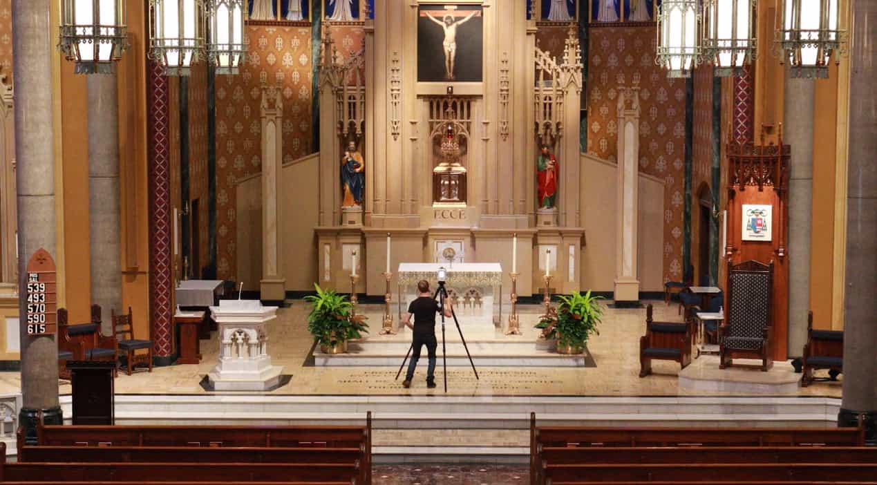
Historic preservation requires a documentation approach that captures the full complexity of a structure without disturbing its historic elements. Traditional measurement methods require physical contact with surfaces that may be fragile, irreplaceable, or difficult to access safely.
TWG uses the Leica RTC360 to capture precise existing conditions documentation of historic structures. The scanner documents architectural features, structural systems, and spatial relationships that photography and manual measurement simply can’t capture accurately. That documentation supports restoration planning, degradation monitoring, and renovation design. Moreover, it preserves the integrity of historic buildings throughout the entire process.
For a deeper look at how laser scanning supports historic preservation work specifically, read our article on historic preservation laser scanning in Illinois.
Why AEC Professionals Choose TWG
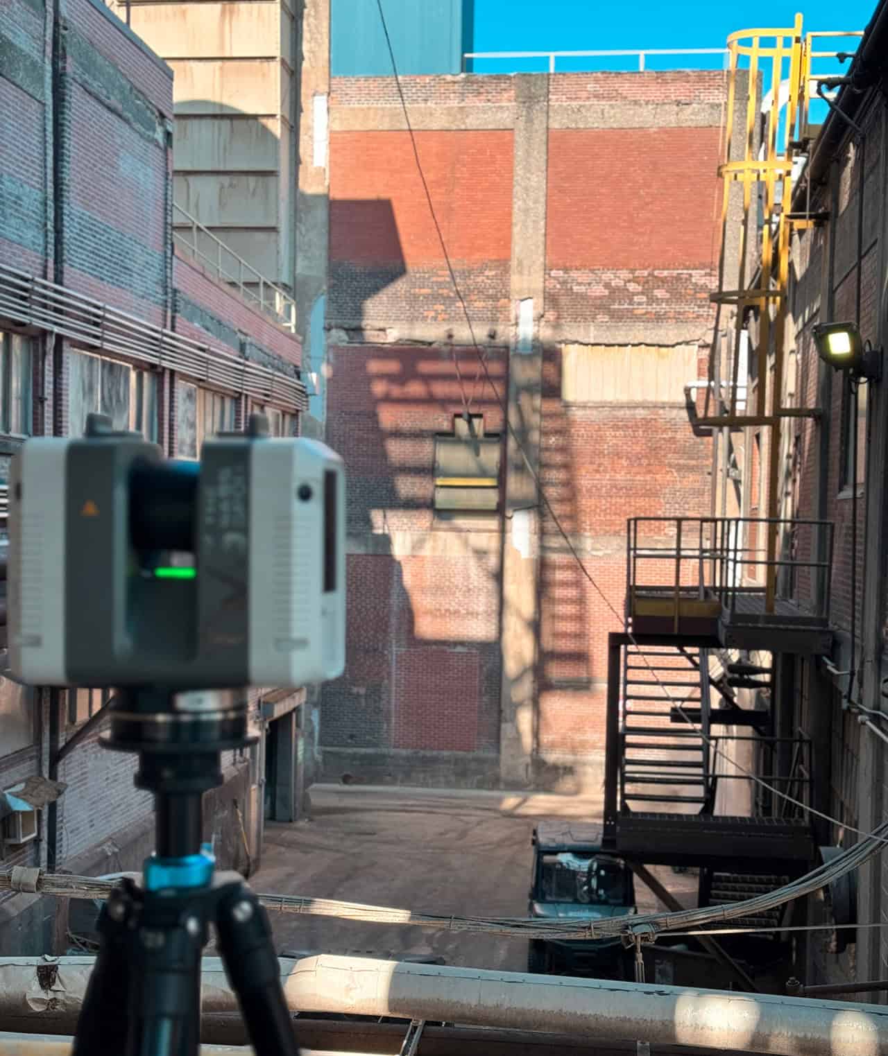
TWG has served architects, engineers, and contractors throughout Central Illinois for nearly 30 years. Our team uses the Leica RTC360 to capture accurate existing conditions. We deliver point cloud data, coordinated Revit models, and CAD drawings in the formats your team uses.
Every project starts with a clear understanding of your deliverable requirements. That means the data captured in the field translates directly into the documentation your team needs. There’s no rework, no reformatting, and no surprises at delivery. If your next project requires accurate existing conditions documentation, TWG is ready to help.
Ready to Get Started?
TWG works with architects, engineers, and contractors throughout Illinois and beyond. Whether your project calls for 3D laser scanning, CAD drafting and Revit modeling, or construction printing, our goal is always the same — give your team accurate, reliable documentation you can build from.
If your project is in Central Illinois, visit our dedicated page for 3D laser scanning in Central Illinois to learn more about how TWG supports local AEC professionals.