
Project Overview
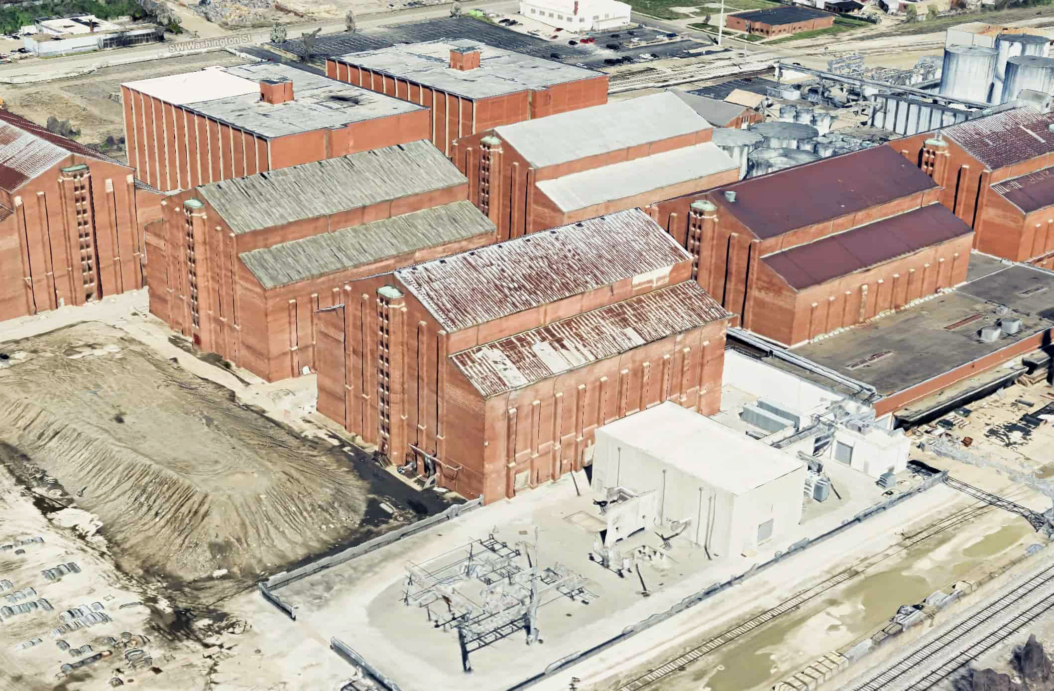
BioUrja needed a precise answer to a critical facility planning question — how many whiskey barrels and pallets could their existing warehouse safely hold at maximum capacity? Rather than relying on manual estimates, TWG deployed the Leica RTC360 to laser scan the facility and used that data to model the space in Revit. From there, TWG ran detailed capacity calculations and produced photorealistic Twinmotion renderings showing the warehouse at maximum storage capacity. The result gave BioUrja’s team accurate, visually compelling data to plan and present with confidence.
The Challenge: Determining Maximum Warehouse Capacity Accurately
BioUrja faced a straightforward but consequential planning question — how much product could their warehouse actually hold? Manual estimates and rough calculations introduce uncertainty that’s difficult to present confidently to stakeholders. Furthermore, inaccurate capacity planning creates real operational risk. Overestimating available space leads to logistical problems when product arrives. Underestimating it means leaving usable capacity on the table.
BioUrja needed precise, verifiable data — not an approximation. In addition, they needed clear visual documentation they could use for internal planning and stakeholder presentations.
Our Solution: Scan, Model, Calculate, Visualize
TWG approached the project in four distinct steps. Each step built directly on the previous one — producing a final result that was both numerically precise and visually clear.
Step 1 — 3D Laser Scanning
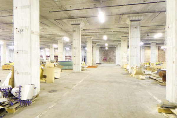
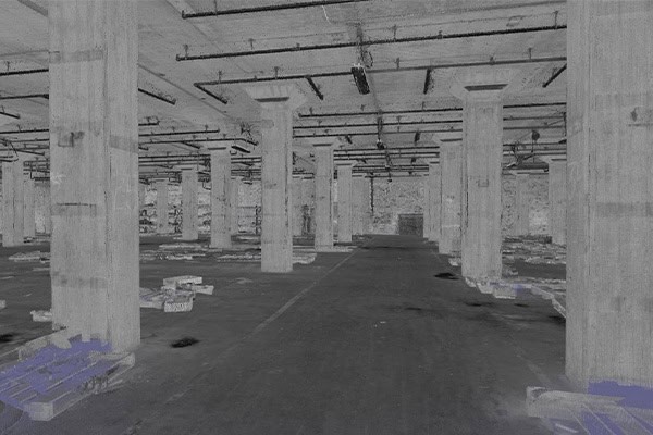
TWG began by deploying the Leica RTC360 throughout the warehouse. The scanner captured high-density point cloud data of the facility’s complete interior — every wall, column, structural element, and floor area documented with accuracy. As a result, the digital record of the space reflected the warehouse exactly as it exists, not as it was estimated or approximated.
Step 2 — Revit Modeling
Next, TWG processed the point cloud data and built a detailed Revit model of the warehouse directly from that scan data. The model captured the facility’s true interior dimensions — giving the team an accurate digital environment to work within for capacity planning.
Step 3 — Capacity Calculations
From the verified Revit model, TWG ran precise calculations to determine the maximum number of whiskey barrels and pallets the warehouse could hold. Consequently, BioUrja received an exact capacity figure — not a range or estimate — backed by verified existing conditions data rather than manual field measurements.
Step 4 — Twinmotion Rendering and Video
Finally, TWG produced photorealistic Twinmotion renderings and a presentation video showing the warehouse at maximum storage capacity. The visualizations gave BioUrja’s team a clear, compelling way to present the capacity analysis to stakeholders — turning numerical results into something anyone could immediately understand.

Deliverables: Precision Data and Visual Clarity
TWG delivered a complete package of documentation and visualization assets for BioUrja’s facility planning process:
- High-density point cloud data captured with the Leica RTC360
- Coordinated Revit model of the warehouse interior
- Precise barrel and pallet capacity calculations
- Photorealistic Twinmotion renderings showing maximum storage layout
- Presentation-ready video for stakeholder communication
The Result: Confident Facility Planning From Verified Data
BioUrja received an exact answer to their capacity question — backed by laser scan data, verified Revit modeling, and photorealistic visualization. As a result, the planning team could move forward with confidence rather than uncertainty. In addition, the Twinmotion renderings gave stakeholders a clear visual reference for what maximum capacity actually looks like in the space — making the planning conversation significantly more productive than a spreadsheet alone could have supported.
This project demonstrates how 3D scanning and Revit modeling together solve facility planning problems that manual measurement simply can’t address with the same precision or confidence.
Warehouse and Industrial Facility Documentation in Central Illinois
TWG regularly works with industrial clients throughout Central Illinois on facility documentation, capacity planning, and existing conditions projects. Notable local projects include industrial documentation for Alto Ingredients and mechanical coordination for the East Peoria Police Station.
Not sure what point cloud data looks like or how it becomes a usable Revit model? Read our guide on what a point cloud is and how it works.
Ready to Solve Your Facility Planning Challenge?
TWG works with industrial clients, facility managers, and project teams throughout Central Illinois and beyond. Whether your project calls for 3D laser scanning, CAD drafting and Revit modeling, or construction printing, our goal is always the same — give your team accurate, reliable documentation you can build from.
If your project is in the region, visit our dedicated page for 3D laser scanning in Central Illinois to learn more about how TWG supports local project teams.