3D Laser Scanning has become an essential tool for architects, engineers, and construction professionals. The accuracy of the Leica cameras, partnered with the reliability and skill of The Wassi Group’s team, makes these 3D models useful in all sorts of projects. From As-Built Documentation to BIM Models, utilizing this essential service can reduce design conflicts and expedite planning, prefabrication, asset management, and facility modifications. Contact us today to learn how we can work together!


Below are just a few essential applications of 3D Laser Scanning. Click on each section for more information on how we can help you on your next project.
Building/Home Renovations
Our 3D Laser Scanners can capture the existing conditions of any building or structure with up to 1/16″ accuracy. It can capture everything from walls, windows, doors, stairs, roofs, railings, columns, beams, equipment, piping, ducts, and more. This technology delivers point cloud data that can be translated to 2D CAD Drawings and 3D BIM models.
Overlaying proposed renovations with scan data allows for the early identification and resolution of any discrepancies. This ensures all new design elements align with the existing structure.
Architectural Design
Our 3D Laser Scanners capture all existing structural and MEP elements efficiently and with extreme accuracy, meaning architects can focus on design elements rather than spending time on data collection. This significantly streamlines workflows by delivering precise existing conditions to create design models, track construction progress, and verify as-built accuracy.
Industrial Facility Maintenance, Retrofitting, and Expansion
As regulatory requirements and technology evolve, modifications to existing infrastructure are often necessary. 3D laser scanning captures detailed as-built data, including structural elements, piping, boilers, turbines, pumps, condensers, and more.
This highly accurate data allows engineers to plan maintenance, retrofitting, and expansions around the existing facility without any clashes. This is extremely valuable, as it allows stakeholders and managers to assess conditions remotely, reducing safety risks and enabling proactive maintenance.
Manufacturing Facility Modifications, Expansions, or Maintenance
Point cloud data from 3D Laser Scanning is converted into 3D models that support planning, fabrication, and clash detection in manufacturing facilities. This ensures that machinery processes are accurately mapped, optimizing facility layouts and safety compliance.
These virtual models provide peace of mind that all new installations will seamlessly fit with existing conditions, in turn reducing risk, minimizing rework, and accelerating production schedules.
Elevation and Flatness Maps
3D Laser Scanning is a fast and precise way of measuring floor/land flatness. The resulting point cloud data is used to create color-coded elevation maps, which identify high and low points that require adjustment.
This allows for quick and precise cut-and-fill calculations, facilitating smooth collaboration among contractors.
Piping Maps and Replacement
3D Laser Scanners capture the entire layout of piping, vessels, valves, and control devices in any facility or plant. These comprehensive maps can be used for future maintenance and replacement projects. Retrofitting pipes can be a complex process, and using scan data ensures proper fitting and reduces costly work.
2D Drawings for Permit Applications
To secure building permits, comprehensive construction documents are needed. 3D Laser Scan Data can capture layouts and dimensions required for site plans, floor plans, and drawings with up to 1/16″ accuracy.
Historical Preservation
Historical Preservation seeks to preserve, restore, and manage buildings, landscapes, and other artifacts of historical significance. This is an important practice, as it helps understand the present and translate history to future generations.
3D Laser Scanning captures precise, high-resolution digital models of physical spaces and structures, invaluable in historic preservation for analyzing architectural features, monitoring degradation, and planning restorations while preserving the integrity of heritage sites.
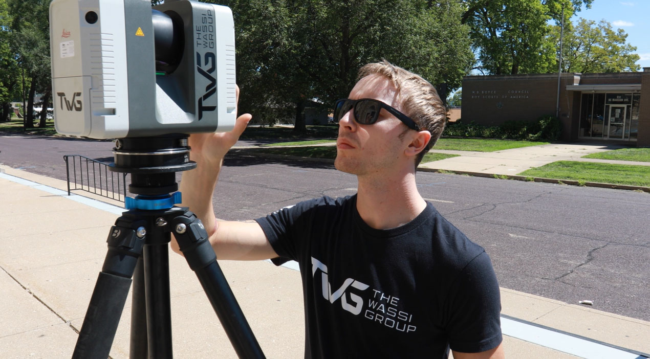
The Wassi Group Difference
TWG is a team of highly skilled 3D Laser Scan and CAD professionals who are committed to providing precision, efficiency, and seamless project integration for our client’s. Our cutting-edge scanning technology captures highly accurate as-built data, reducing rework and improving decision-making throughout the project lifecycle. With extensive industry expertise, we deliver tailored solutions that streamline design, planning, and construction processes. Partnering with The Wassi Group ensures you receive reliable, high-quality scans that enhance project accuracy, minimize costs, and keep your projects on schedule.