
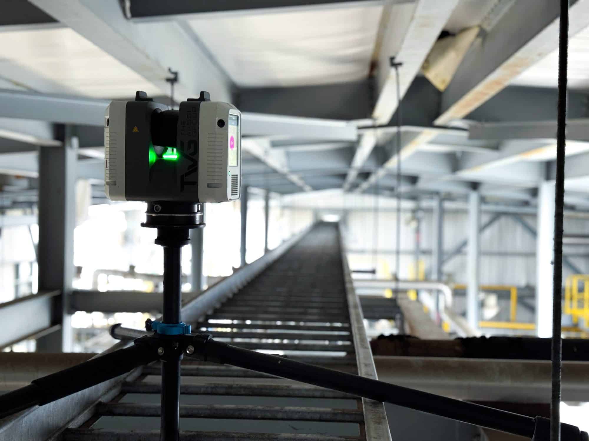
3D Laser-Scanning
Capture accurate existing conditions to support confident design, renovation, and documentation.
When a project starts from inaccurate existing conditions, the problems don’t show up on paper — they show up in the field. A wall that’s six inches off. A structural element nobody documented. A mechanical run that conflicts with new work. The Leica RTC360 eliminates that uncertainty before construction begins, capturing millions of precise measurements across your site and producing a dense, accurate point cloud — and from there, a Revit model or CAD drawing your team can actually build from.
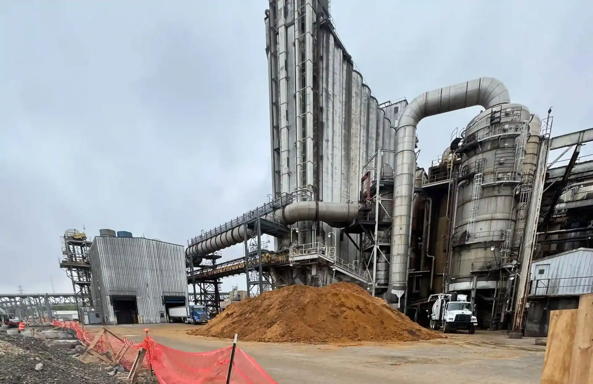
Preparation
Site conditions and project goals are reviewed to plan complete, efficient scan coverage before work begins.
Every scanning project starts with a clear understanding of what needs to be captured and why. TWG reviews your project goals, existing documentation, and site conditions before deployment — so the scanning plan covers every area your team needs in as few visits as possible. Good preparation means complete data.
We also discuss deliverable formats upfront — whether your team needs a point cloud, a coordinated Revit model, a full CAD drawing set, or a combination of all three. Knowing the end goal before scanning begins means the data is captured in a way that translates directly into the deliverables your project actually requires.
What preparation includes:
- Review of project goals, scope, and existing documentation
- Site assessment to plan complete scan coverage and equipment positioning
- Discussion of deliverable formats and file requirements
- Coordination around site access, operational schedules, and any environmental constraints
- Scan plan development to ensure complete, efficient data capture in as few visits as possible
Scanning
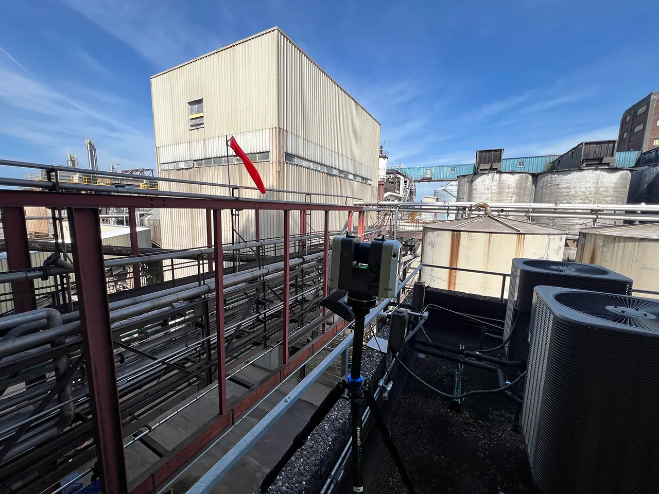
TWG deploys the Leica RTC360 on-site to capture precise existing conditions across your entire project area.
The Leica RTC360 captures up to two million data points per second — documenting walls, ceilings, structural elements, equipment, and every surface in between with a level of accuracy that manual measurement simply can’t match. Depending on the size and complexity of the facility, scanning may be completed in a single day or across multiple visits — whatever the project requires to capture complete, accurate data without disrupting ongoing operations.
What gets captured:
- Complete interior and exterior building geometry
- Structural elements — columns, beams, walls, and slabs
- Mechanical, process, and industrial equipment in three dimensions
- Ceiling heights, floor levels, and overall building envelope
- Site conditions and surrounding context where required
Processing
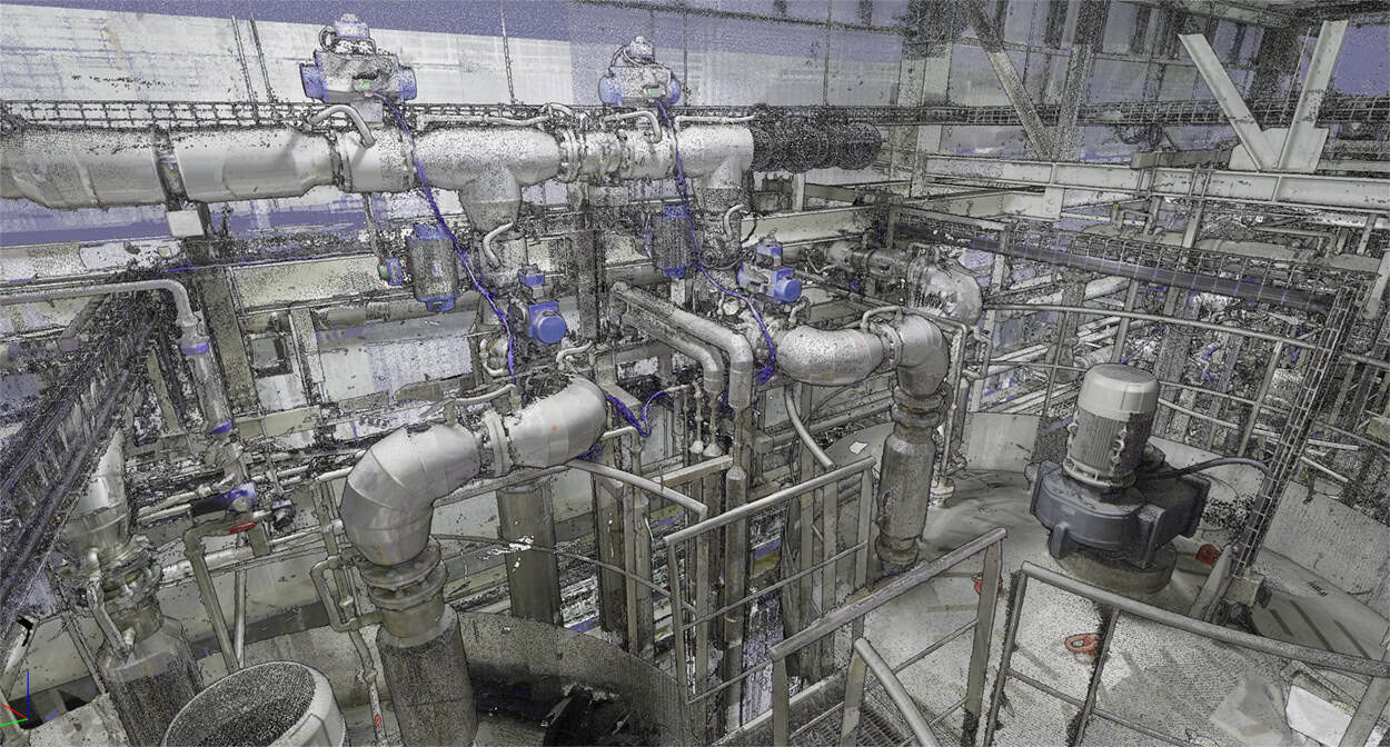
Scan data is registered, refined, and built into coordinated models and drawings your team can work from.
Raw point cloud data is registered — meaning all individual scan positions are aligned and merged into a single, cohesive three-dimensional record of the site. TWG then processes that data into the deliverable format your project requires — whether that’s a clean point cloud, a coordinated Revit model, or a full set of CAD drawings. The result reflects the building exactly as it exists, not as it was originally documented.
Processing deliverables include:
- Registered point cloud data in industry-standard formats
- Coordinated Revit models built directly from scan data
- 2D CAD drawings — floor plans, elevations, sections, and reflected ceiling plans
- As-built floor plans for facility management and documentation
- Industrial facility documentation — pipe routing, equipment layouts, and structural records
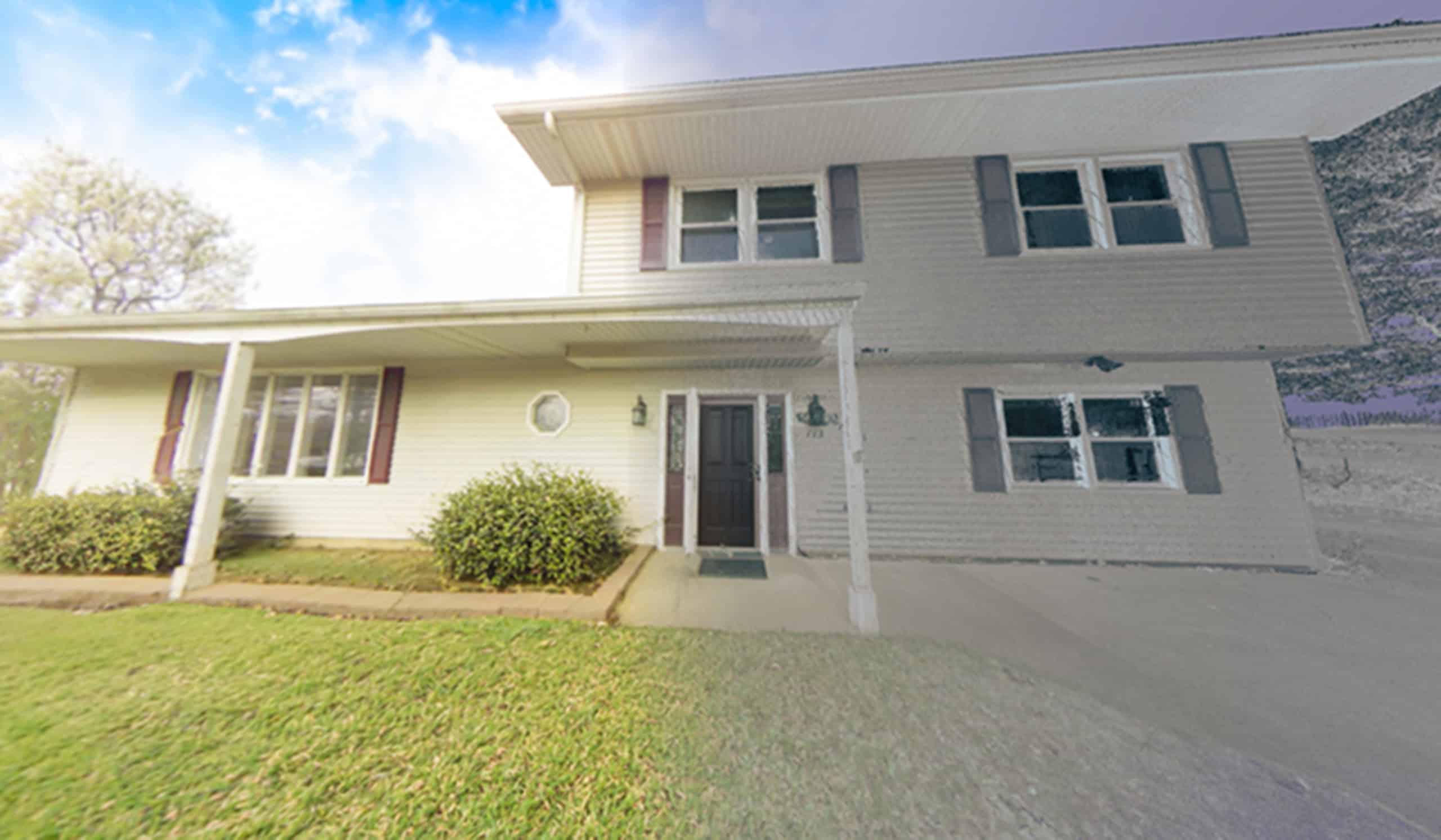
Report
Your team receives clean, organized deliverables in the formats you use — with clear communication throughout.
Every TWG project concludes with a complete deliverable package tailored to your project’s specific needs. Files are organized, clearly labeled, and delivered in the formats your design team, engineering firm, or contractor works in. TWG stays in communication throughout the process — so you always know where your project stands and what’s coming next.
Final deliverables typically include:
- Point cloud data files compatible with Autodesk ReCap, Revit, and AutoCAD
- Coordinated Revit models and BIM documentation
- CAD drawing sets in the formats your team uses
- Scan reference sheets and project documentation
Who We Work With
3D laser scanning supports a wide range of project types and client needs. TWG regularly works with:
Architects and engineers planning renovations where existing drawings are missing, outdated, or unreliable — scanning gives them accurate base plans to design from.
General contractors who need verified existing conditions before work begins — reducing field surprises, change orders, and coordination conflicts during construction.
Facility managers at commercial buildings, healthcare facilities, and industrial plants who need accurate floor plans and building documentation for ongoing maintenance and long-term planning.
Industrial clients and plant managers requiring precise documentation of process equipment, pipe routing, and structural steel for facility modifications, expansions, and capacity planning.
Historic preservation teams documenting structures where dimensional accuracy and non-invasive capture methods are essential — scanning captures complex geometry without physical contact.
Developers and owners who need accurate existing conditions as the foundation for adaptive reuse, renovation, and new addition projects.
Ready to Get Started?
Every project starts with a conversation. Whether you need a point cloud, a coordinated Revit model, or a complete set of existing conditions drawings — TWG is ready to help.
If your project is in Central Illinois, visit our dedicated page for 3D laser scanning in Central Illinois to learn more about how TWG supports local project teams.
Latest in laser scanning from The Wassi Group
-
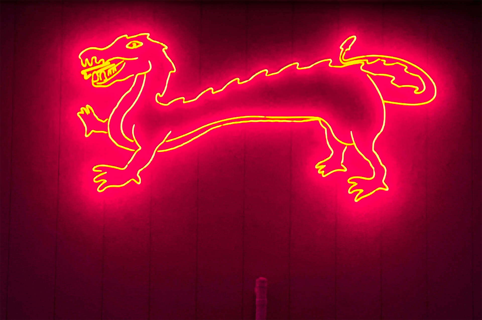
Laser Scanning for Design — KSA Pekin Dragon Sign Template
KSA Lighting & Controls was hired to refurbish the Pekin…
-

Laser Scanning & Twinmotion Renderings — Peoria Players Theatre, Peoria IL
Peoria Players Theatre needed to expand its restroom capacity to…
-
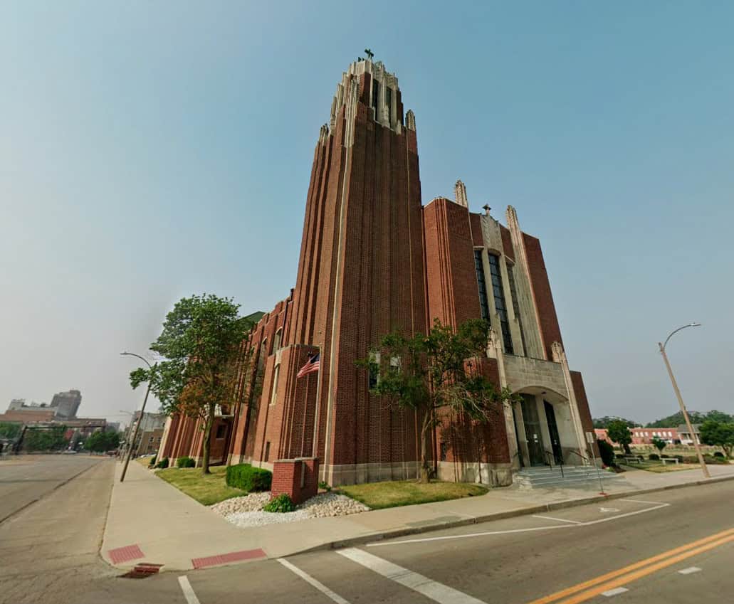
Historic Church Laser Scanning — Holy Trinity Catholic Church, Bloomington, IL
Project Overview Design Mavens engaged The Wassi Group to provide…
Serving Central Illinois and the Surrounding Region
Based in Morton, IL, TWG regularly works with design and construction professionals throughout Central Illinois and beyond. If your project is in the region, visit our dedicated page for 3D laser scanning in Central Illinois to learn more about how we support local architects, contractors, and facility managers.