In modern construction and engineering, precision is paramount. One technology that has revolutionized the way professionals capture and analyze real-world structures is 3D laser scanning. Central to this innovation is the concept of point clouds. But what exactly are point clouds, and how do they contribute to creating highly accurate as-built models? Let’s delve deeper.
What is a Point Cloud?
A point cloud is a digital collection of millions—or even billions—of individual data points that represent the exact spatial coordinates of a physical object or environment. These points are generated through 3D laser scanning, which uses LiDAR (Light Detection and Ranging) or other scanning technologies to map surfaces in extreme detail.
Each point in a point cloud corresponds to a precise location in 3D space, creating a highly detailed and accurate representation of buildings, infrastructure, and other structures. When processed, these points can be converted into 3D models, Building Information Modeling (BIM) files, or CAD drawings, offering a comprehensive reference for architects, engineers, and contractors.


How 3D Laser Scanning Captures Point Clouds
The process of generating a point cloud through 3D laser scanning involves several key steps:
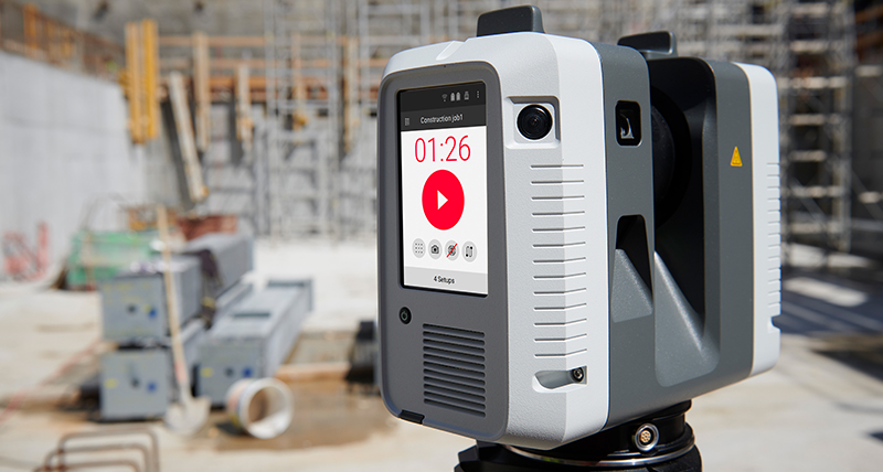
- Scanning the Environment: A 3D laser scanner is strategically placed at multiple vantage points around the site. The scanner emits laser beams that bounce off surfaces, returning data on distances and dimensions.
- Data Collection: Each reflected laser beam is recorded as a single point, capturing the exact X, Y, and Z coordinates of the surface it hits.
- Merging Scans: Multiple scans from different angles are stitched together using software alignment techniques, creating a comprehensive 3D representation of the space.
- Processing the Point Cloud: Advanced software cleans, refines, and translates the dense collection of points into an actionable 3D model or BIM-ready file.
Why Point Clouds are Essential for Accurate As-Built Models
Point clouds play a critical role in ensuring that as-built models—the actual constructed conditions of a building—are accurate, reliable, and up-to-date. Here’s why they are invaluable:
- Unmatched Precision: With accuracy levels down to millimeters, point clouds eliminate guesswork in construction and renovation projects.
- Comprehensive Data Capture: Every surface, nook, and structural element is digitally preserved, ensuring no details are missed.
- Seamless Integration with BIM & CAD: Point clouds can be imported into modeling software, streamlining the transition from scanned data to actionable project plans.
- Reduced Rework & Cost Savings: By capturing real-world conditions before work begins, teams can detect clashes, validate measurements, and avoid costly mistakes.
- Faster Project Timelines: The speed and efficiency of 3D laser scanning significantly reduce the time needed for site documentation.
Real-World Application: Salvation Army Facility Renovation
At The Wassi Group, we’ve harnessed the power of 3D laser scanning in various projects to deliver precise and efficient results. A notable example is our collaboration with Blakemore Architects on the renovation of a former Circuit City and Pep Boys facility into a new Salvation Army building. This transformation required detailed as-built documentation to support the design and proposal phases. Given the building’s complex and diverse history, 3D laser scanning was employed to capture precise measurements and documentation of the existing structure. This approach ensured that every structural element was accurately represented, facilitating a seamless renovation process.
Conclusion
Point clouds form the foundation of accurate as-built modeling, enabling professionals to capture reality with precision and translate it into actionable digital models. As 3D laser scanning technology continues to evolve, the accuracy, efficiency, and benefits of point cloud data will only expand, making it an indispensable tool in construction, engineering, and beyond.
At The Wassi Group, we are committed to leveraging cutting-edge technology like 3D laser scanning to support contractors, architects, and project managers in delivering precise and efficient projects. Want to learn more about how point clouds can benefit your next project? Contact us today!

