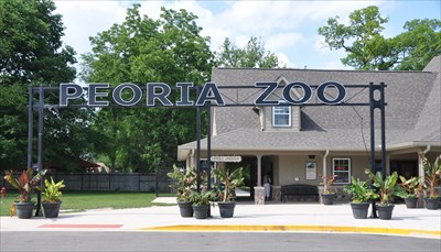
The 3D laser scanning of Glen Oak Zoo was a crucial project aimed at creating precise, detailed deliverables that could be used for future planning, development, and renovations. With the increasing importance of accuracy and efficiency in design, our client partnered with TWG to leverage the power of 3D Laser Scanning Technology. Our primary goal was to provide high-quality survey linework by utilizing point cloud data, ensuring that all documentation was easily interpreted.
Project Details
- Client: Anonymous
- Category: 3D Laser Scanning
- Tools: Leica RTC360, AutoCAD

Point cloud data often contains extraneous points, such as moving objects (or in this case animals) as well as nearby vegetation. We removed these unwanted elements to ensure only the fixed features of the zoo was documented.
From the clean point cloud data, we extracted critical elements, including building footprints, roads, pathways, and animal enclosures, to develop highly detailed sitemaps.


Using the extracted data, we generated survey-grade linework that could be easily interpreted and used for future design and construction projects.
The point cloud data captured the terrain in great detail, and we ensured that topography was presented clearly in the survey linework. Elevation changes, slopes, and other topographical features were highlighted for ease of understanding.


Through careful attention to detail, clarity in documentation, and a focus on usability, we were able to deliver a product that will have lasting value for Glen Oak Zoo’s ongoing projects.

